


Georgia
Lake Kelitsadi and Sherkhota Volcano
3-4 days
duration
hard
difficulty
~30 km
distance
↑2729 ↓2760 m
ascent / descent
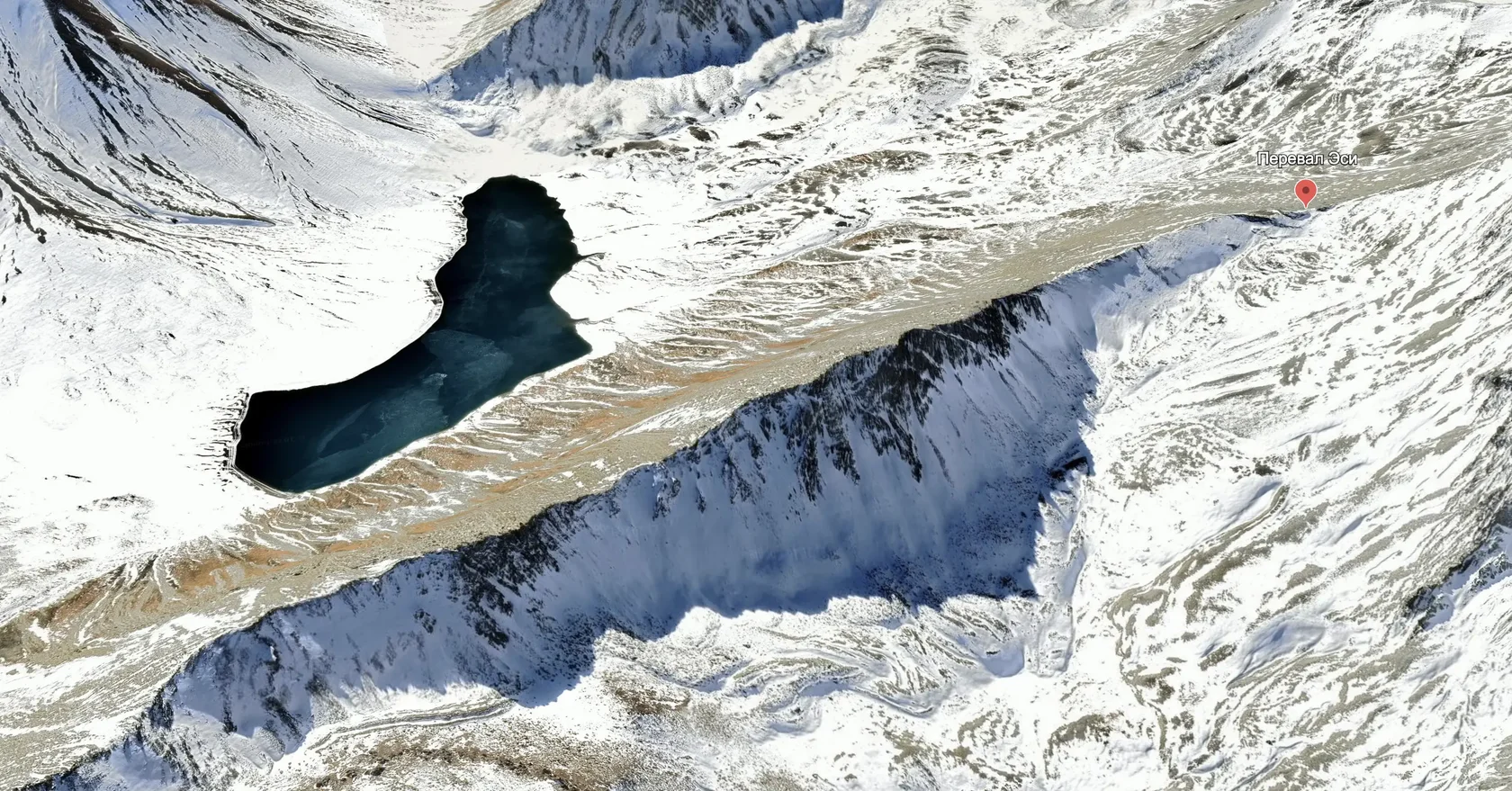
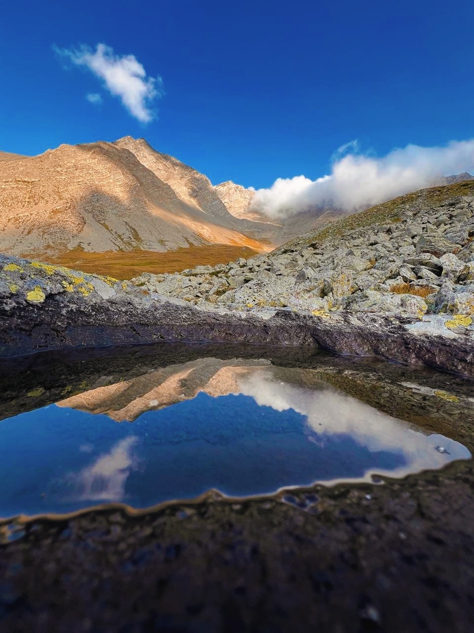
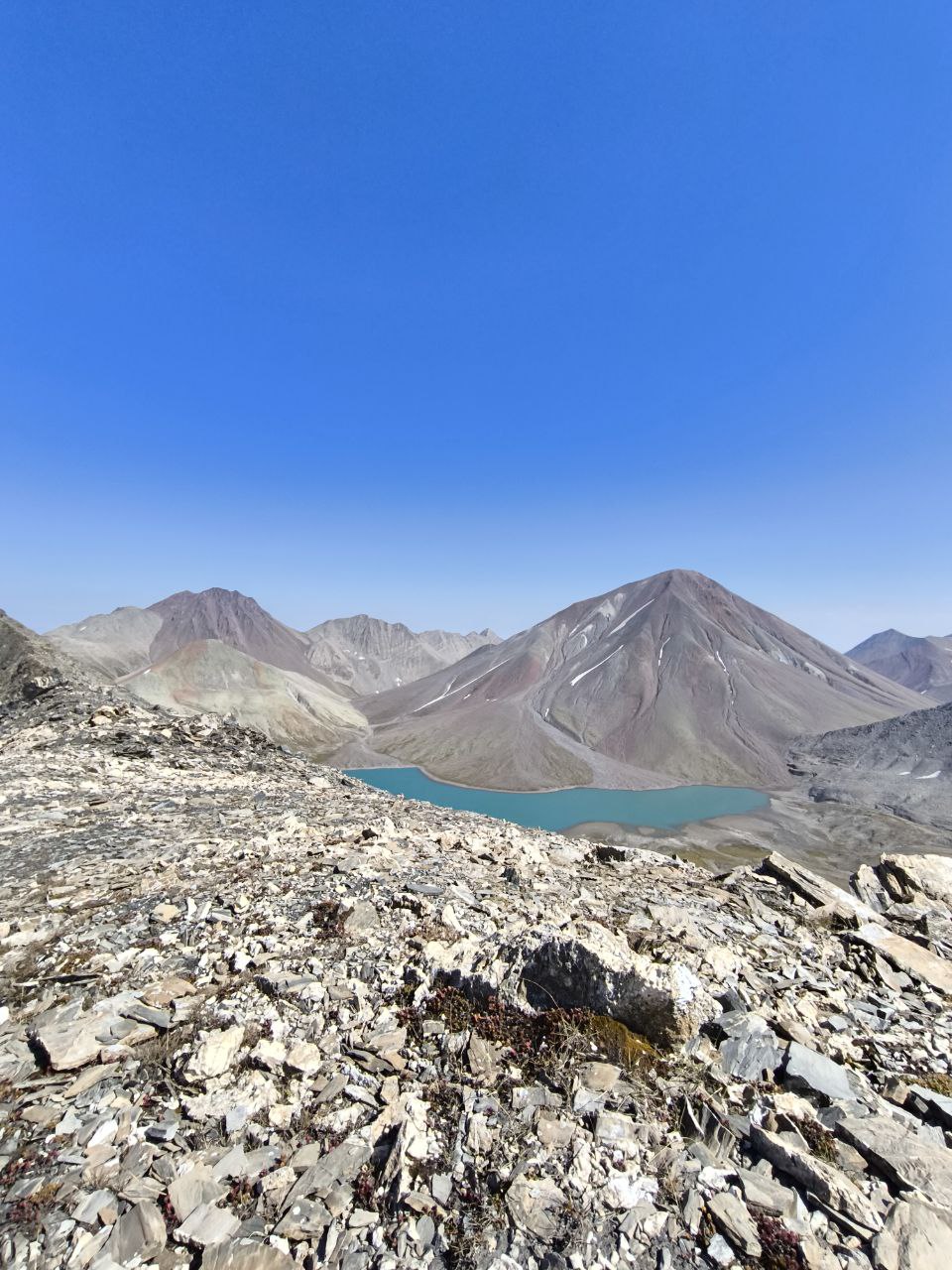
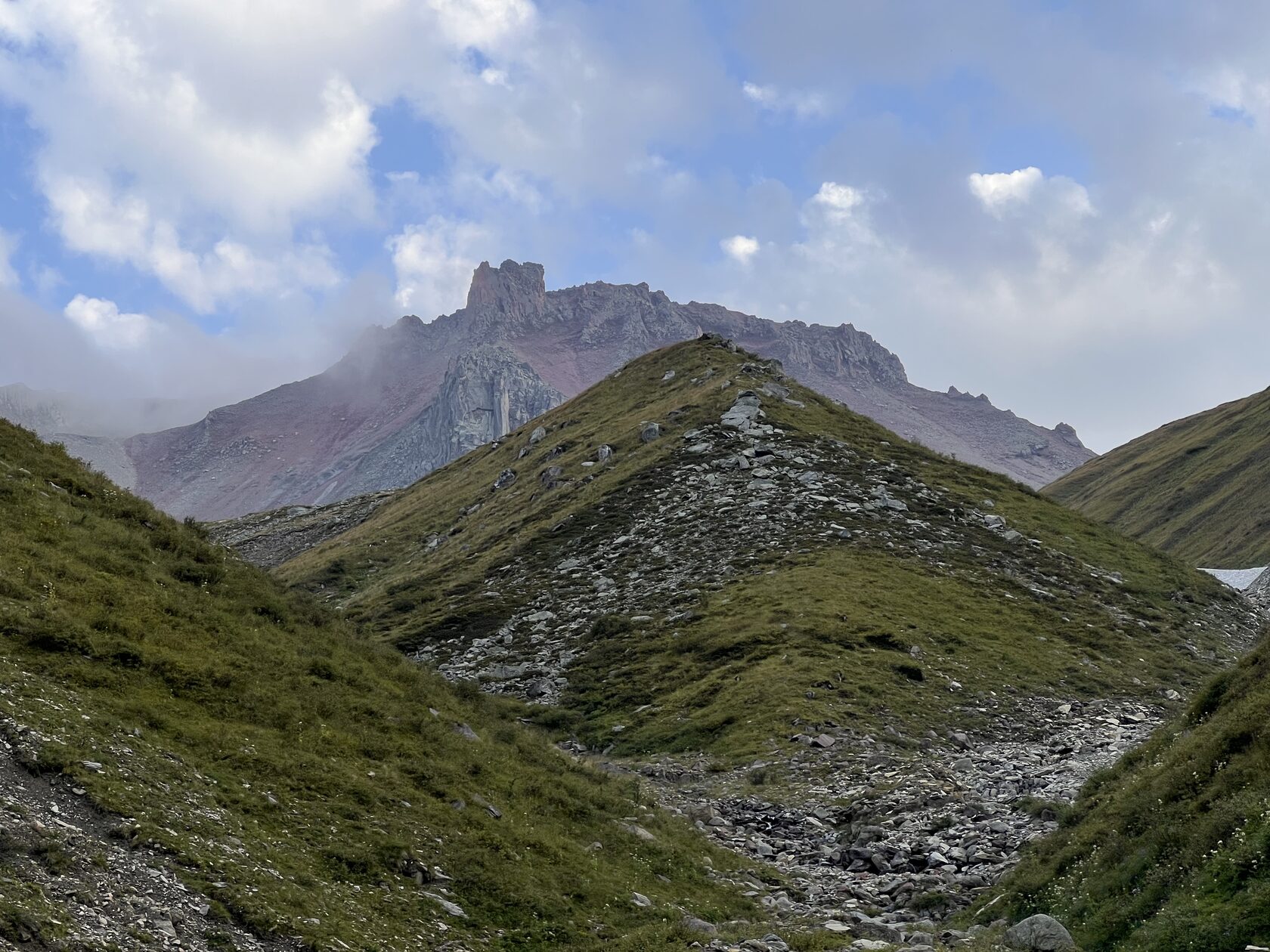
Lake Kelitsadi sits on the Keli volcanic plateau in the crater of an extinct volcano at 3081m. It is one of the highest lakes in Georgia, and the only way to get there is on foot. No horses or vehicles can make it here.
There are several good spots for tents by the lake. In summer and early fall, it is the only water source around; the rest of the year, almost everything is buried under snow.
There are several good spots for tents by the lake. In summer and early fall, it is the only water source around; the rest of the year, almost everything is buried under snow.

Itinerary
Day 1:
The way to the lake
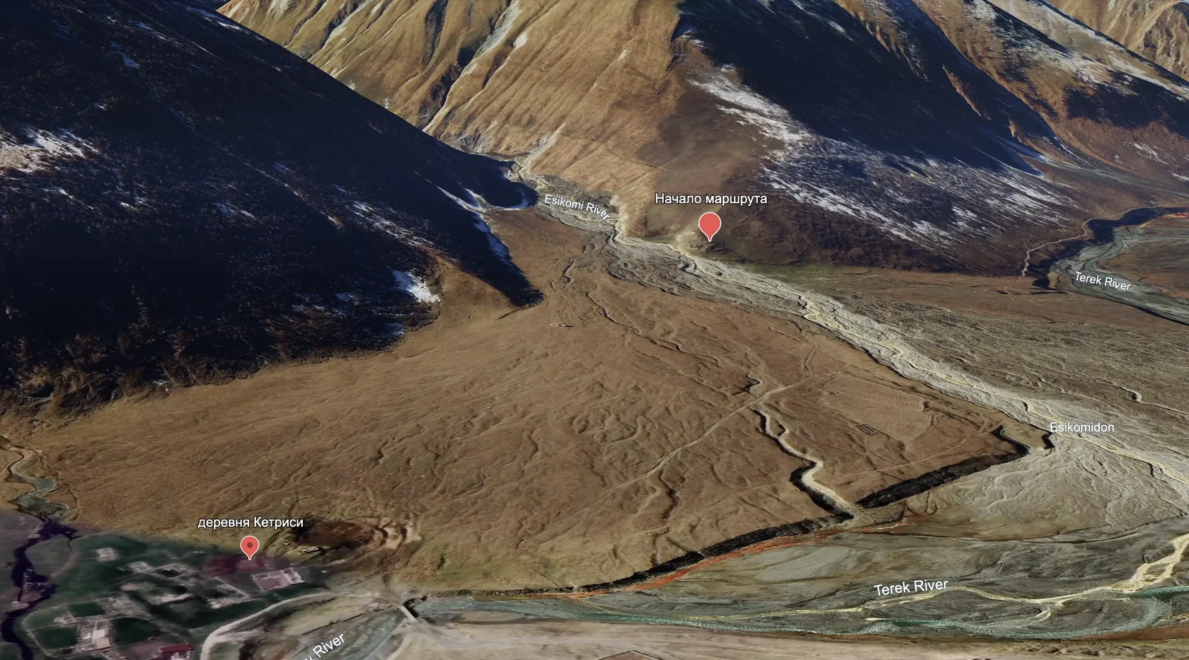
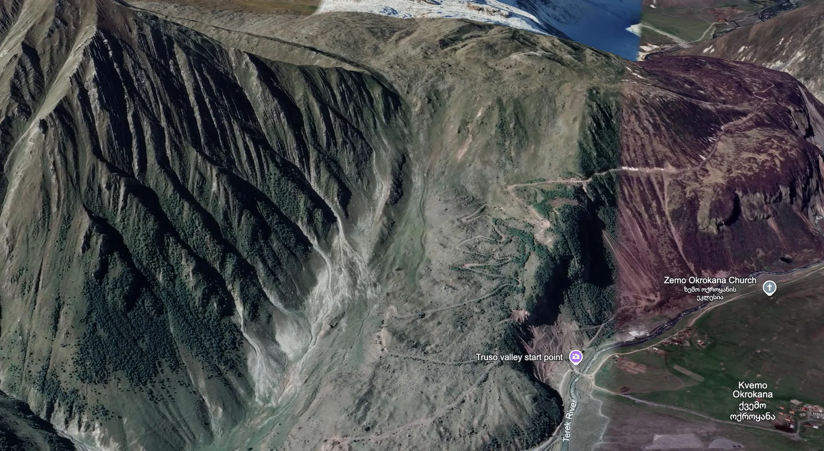
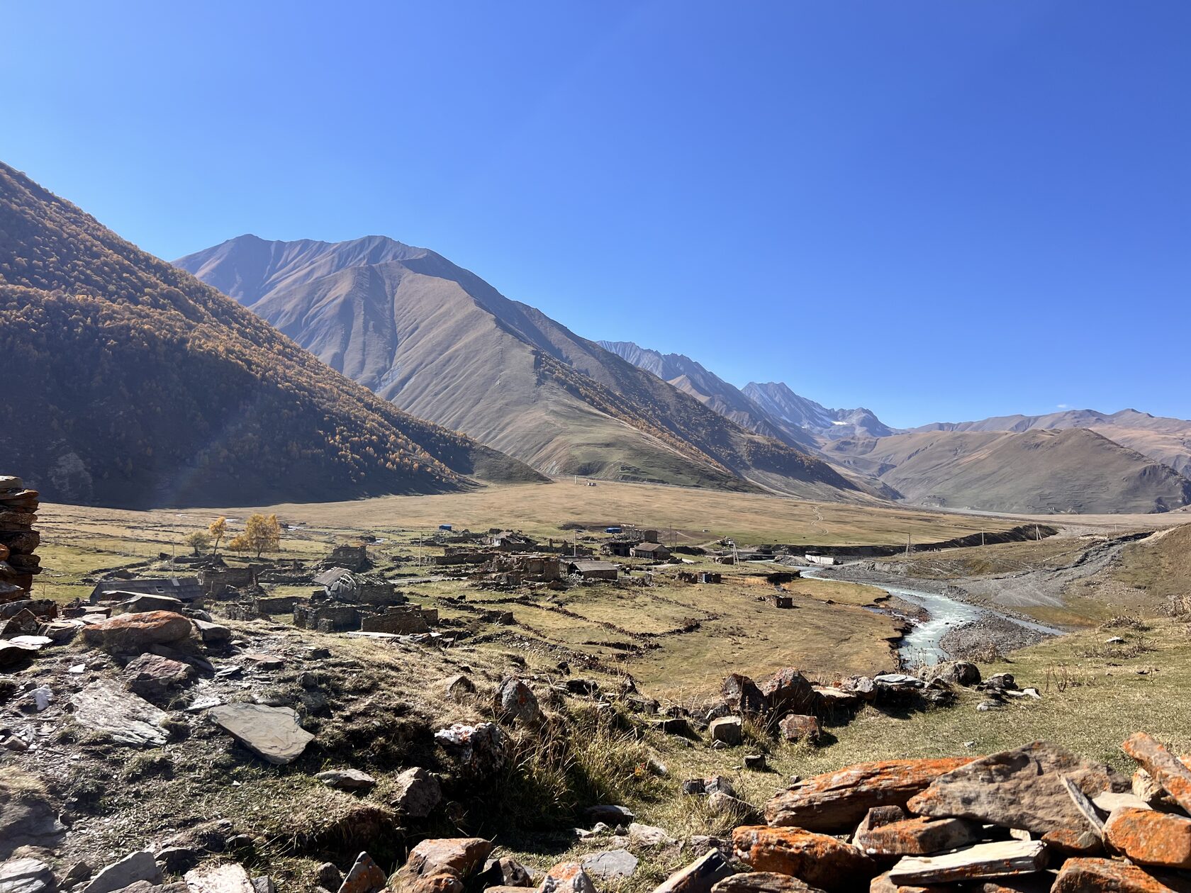
Tbilisi → Ketrisi Village → Esi High Pass → Lake Kelitsadi
Distance / elevation gain / loss: ~11.5 km / ↑1681 m / ↓753 m
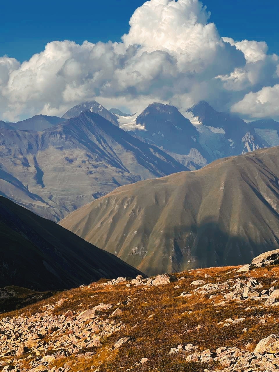
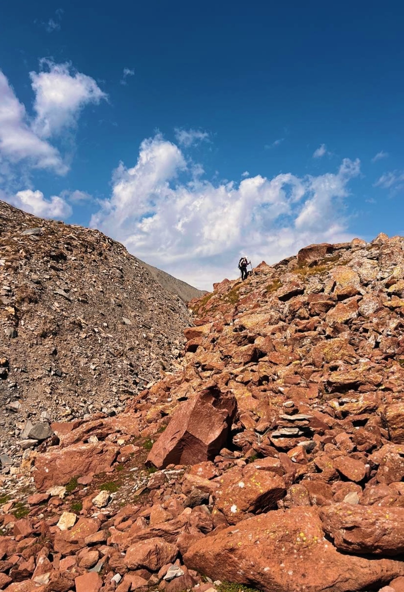
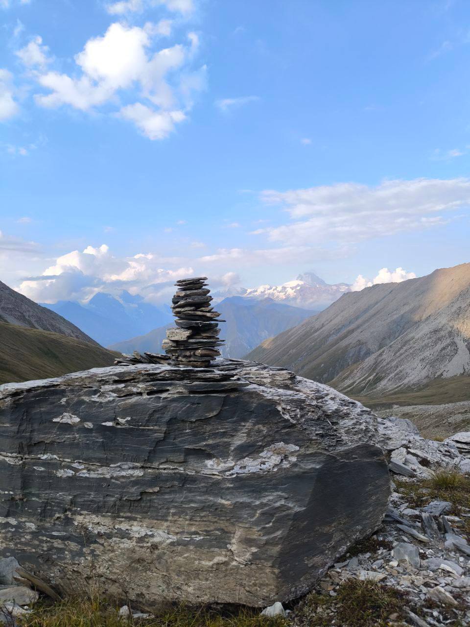
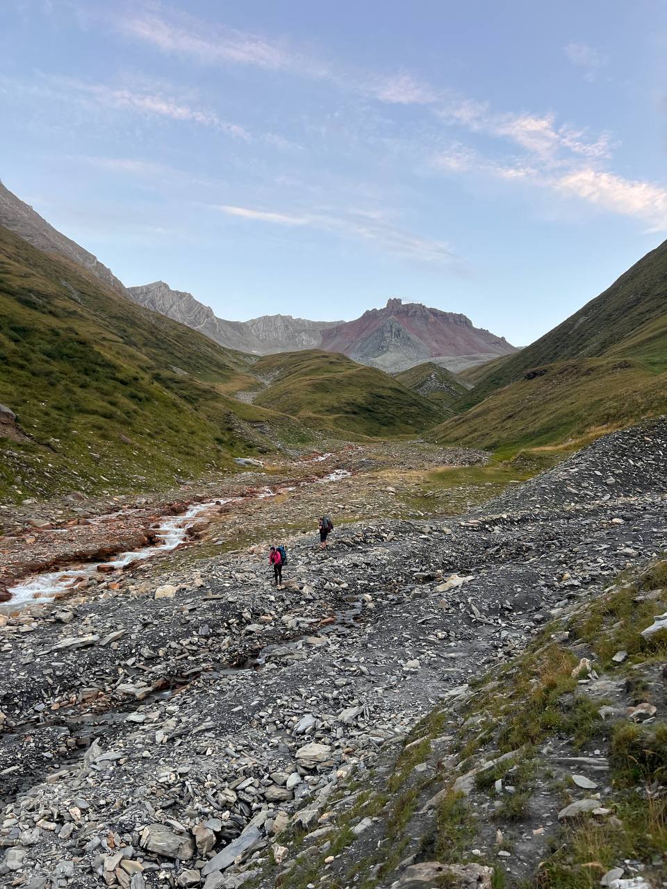
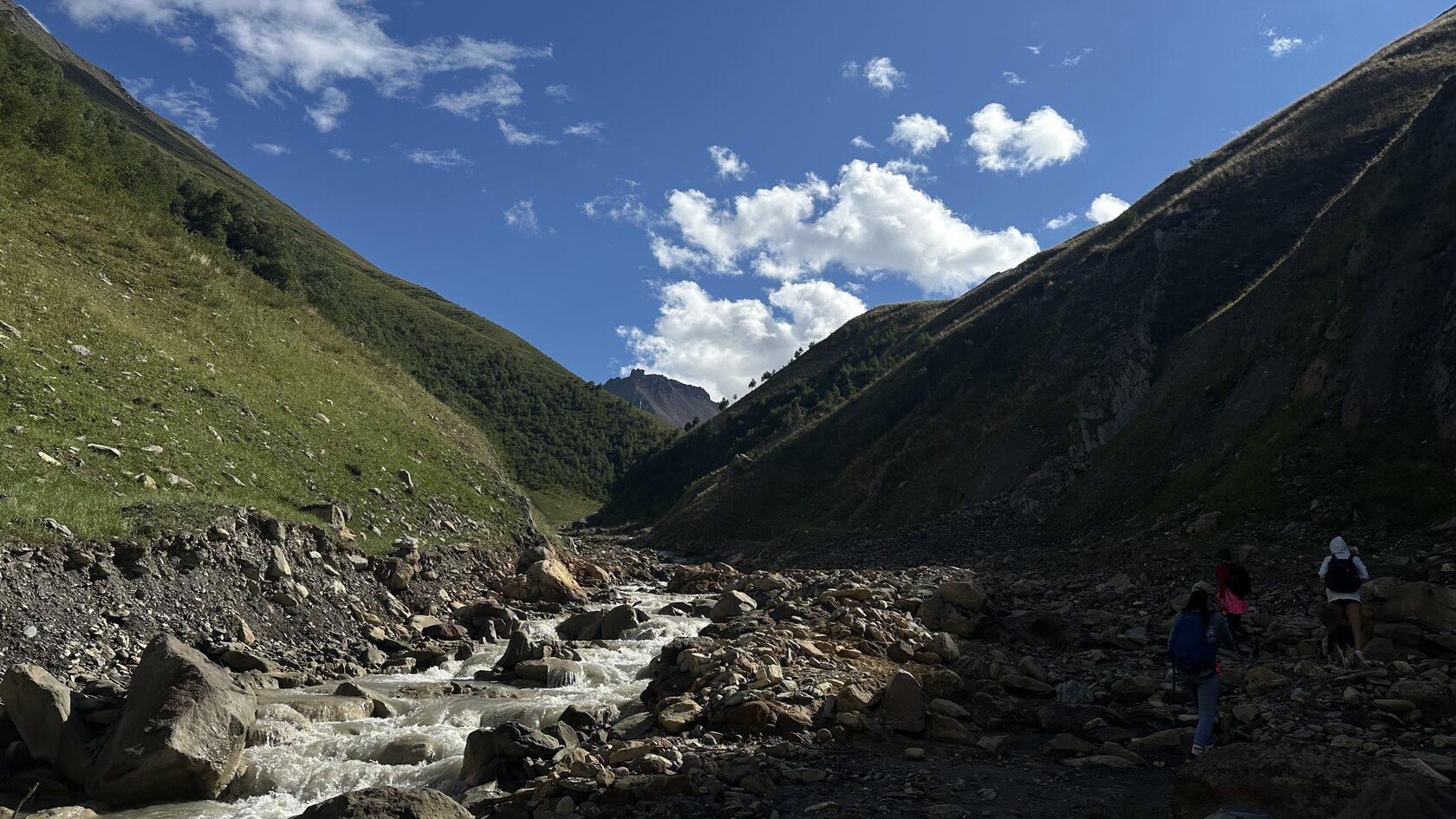
We head out from Ketrisi and start a long climb through the Esikomi Valley. The river water has a slight sulfur taste—filtering or boiling is a must. Gradually, the trail leads us up into the boulder fields. We push through the last few hundred meters to the saddle of the Esi Pass, where views of the colorful Keli Plateau and the Kazbegi massif open up. After the pass, we descend through the scree to the shores of Kelitsadi and set up camp by the water.
Day 2:
volcano summit and lakeside chill
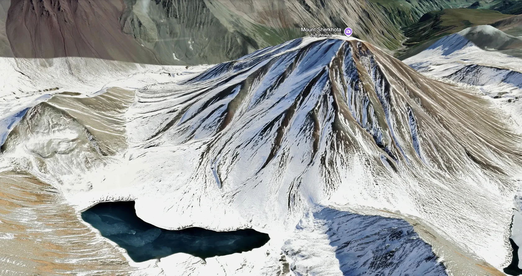
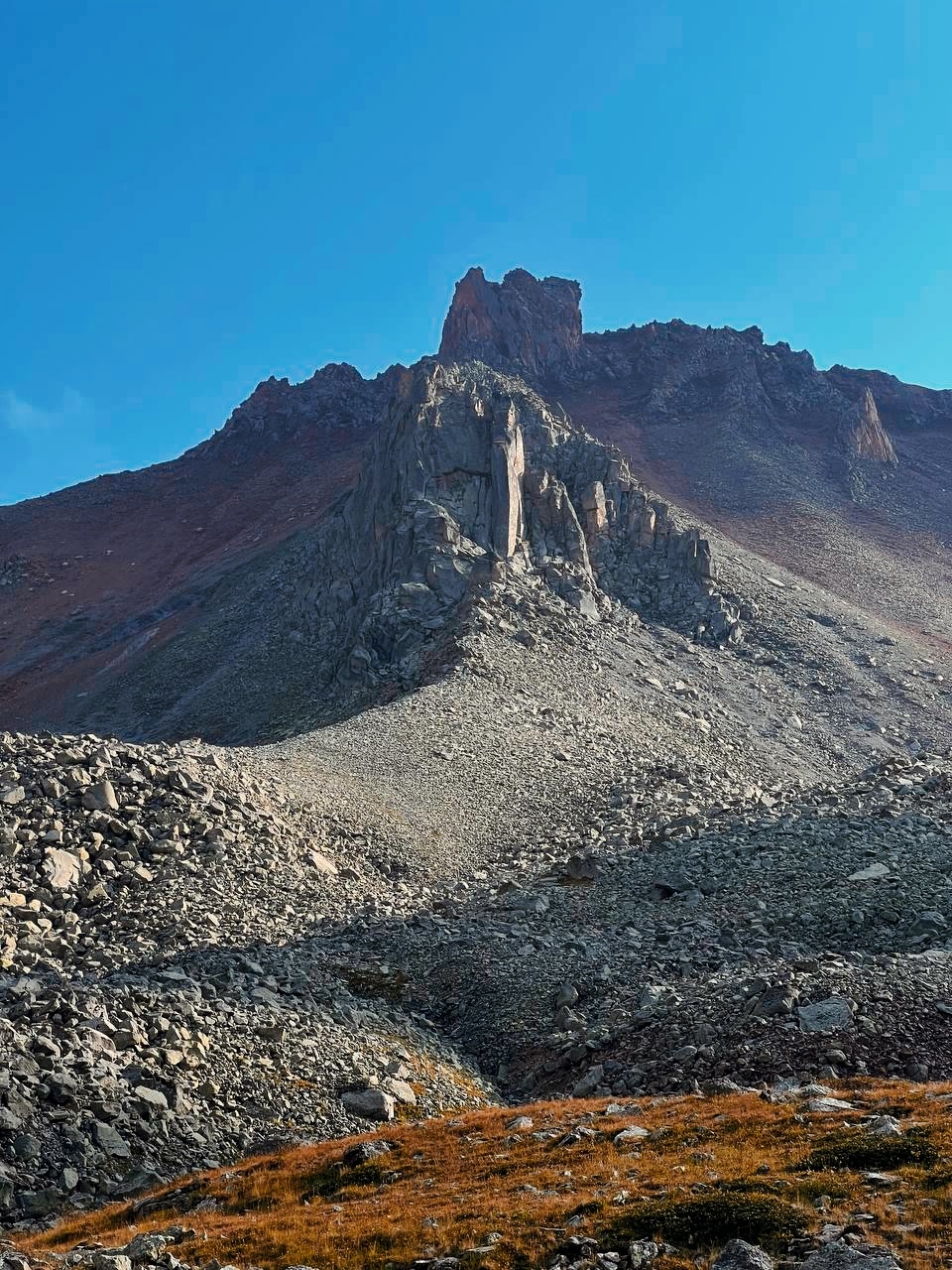
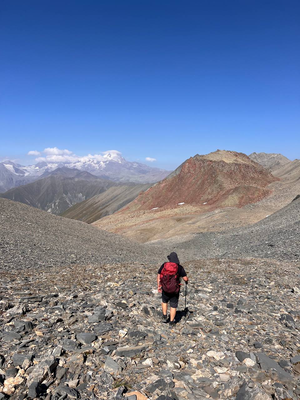
Relaxing at the lakeside camp → Sherkhota volcano ascent
Distance / gain / loss: ~4 km / ↑↓620 m
A day to do whatever you feel like. Relax on the shore to recharge, wander around the area, or hike up to the summit of Sherkhota volcano.
Day 3:
to the plateau via the pass
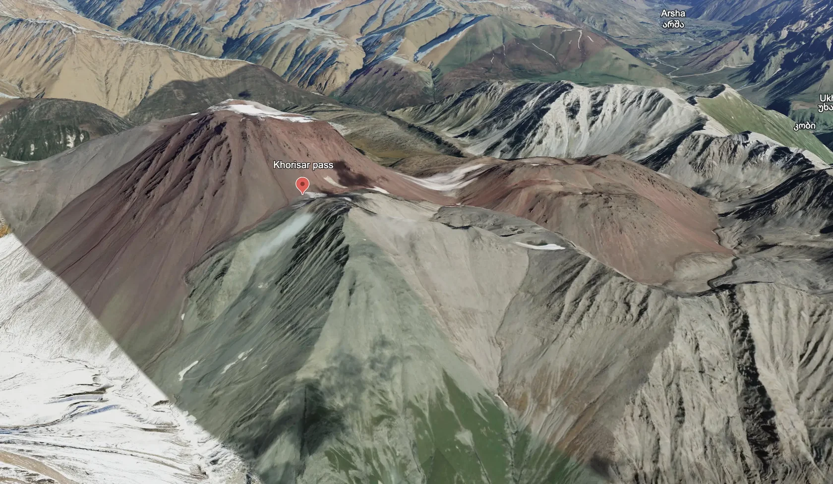
Kelitsadi Lake → Khorisar Pass → Keli Plateau
Distance / gain / loss: ~8 km / ↑752 ↓1061 m
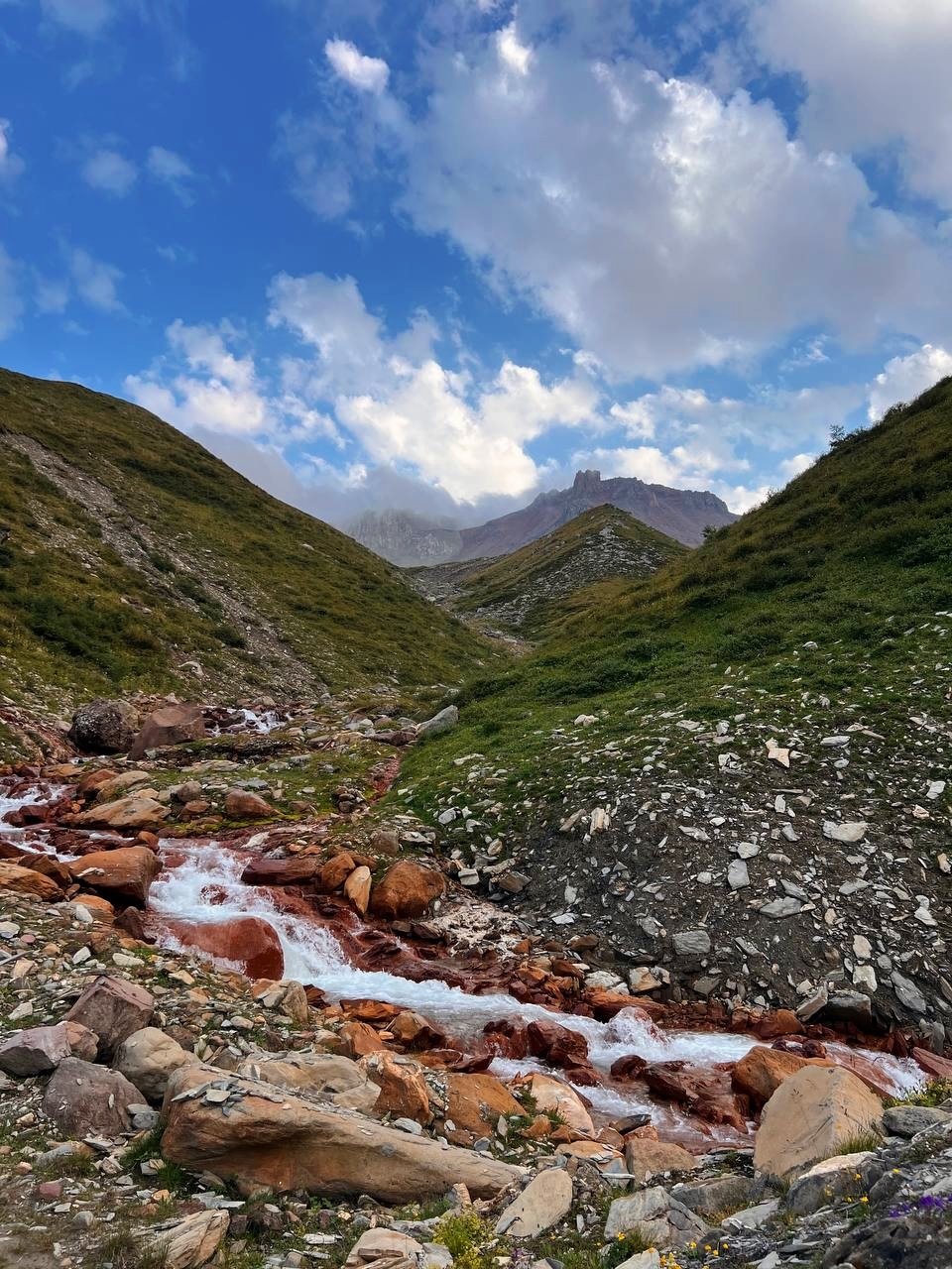
From the lake, we traverse below Sherkhota volcano, then start climbing through boulder fields toward the pass. Expect steep scree and the red slopes of volcanic cones (Big and Small Khorisar) before reaching the saddle. Truso Valley opens up from the top. The descent is long and rocky with a sharp drop in elevation. We'll reach the upper Keli Plateau and set up camp in a shallow hollow. Reliable water sources are scarce here, so we'll fill up in advance.
Day 4:
heading home
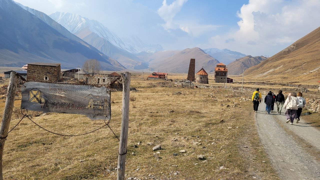
Keli Plateau → Kvemo Okrokana → Tbilisi
Distance / gain / loss: ~8.5 km / ↑281 ↓1028 m
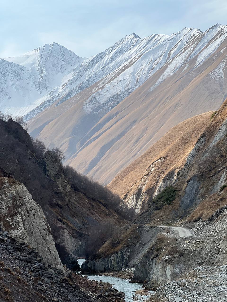
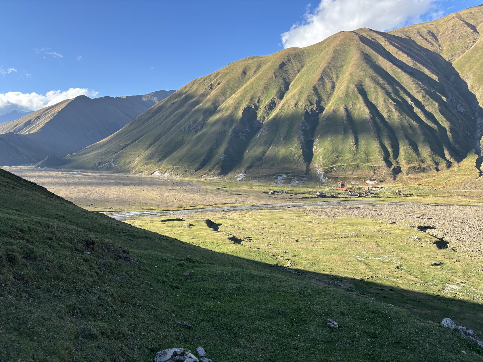
In the morning, we pack up camp and start our descent from the plateau toward the valley. First, we'll hit gentle grassy slopes with rocky ridges, then turn onto a steep switchback trail. From there, we hit the road along the Truso riverbed and head down to Kvemo Okrokana, where our trek ends.
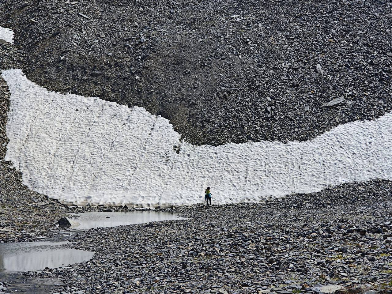
Water is scarce. Reliable sources on the trail – Lake Kelitsadi and the Esikomi River. We recommend carrying 4–5 liters from the start until you reach the lake; snowfields along the way are for emergencies only and require a filter.
Border zone. The route runs close to the South Ossetia boundary line. The descent from the lake toward Ketrisi stays right on the edge. Stick to the correct pass and direction so you don't wander off-course.
What to bring
- Underwear
- Thermal layers
- T-shirt
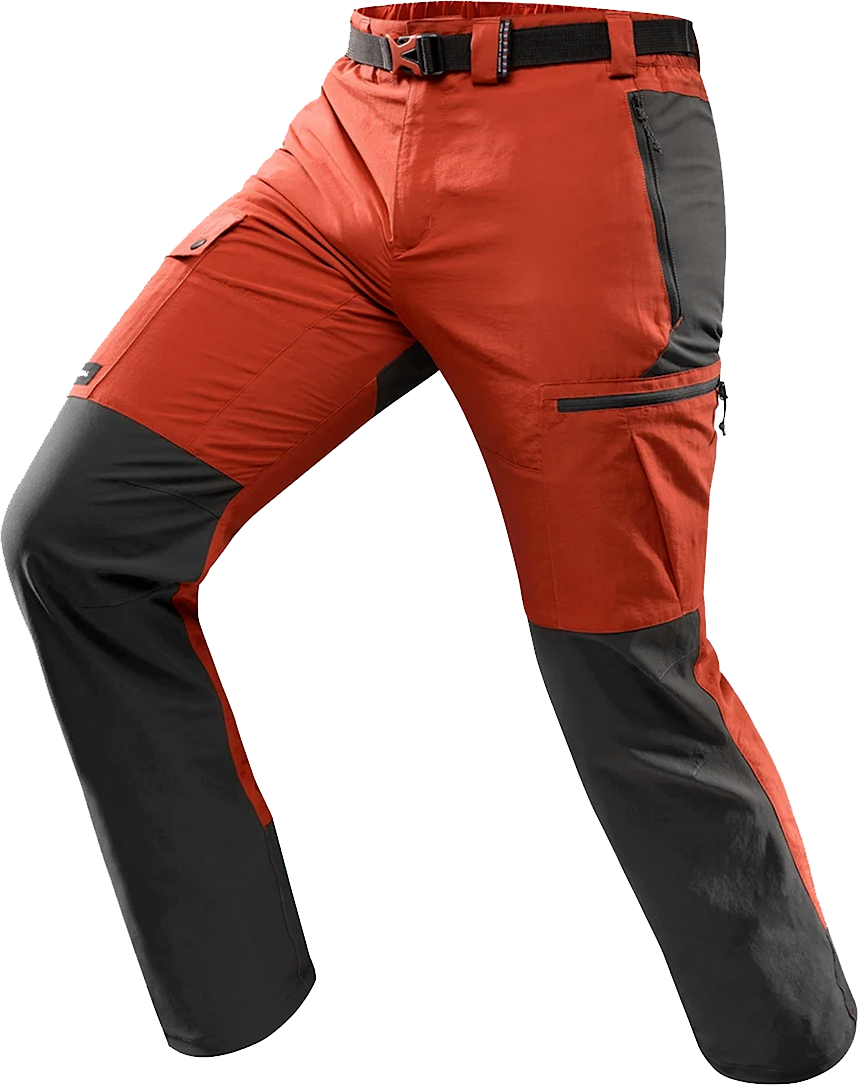
- Hiking pants
- Warm pants for the evening
- Socks or hiking socks
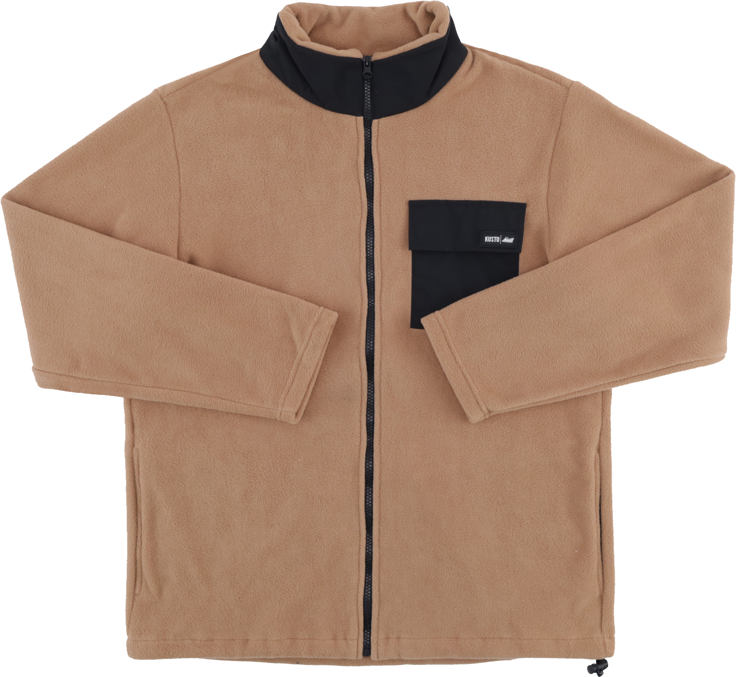
- Warm fleece jacket
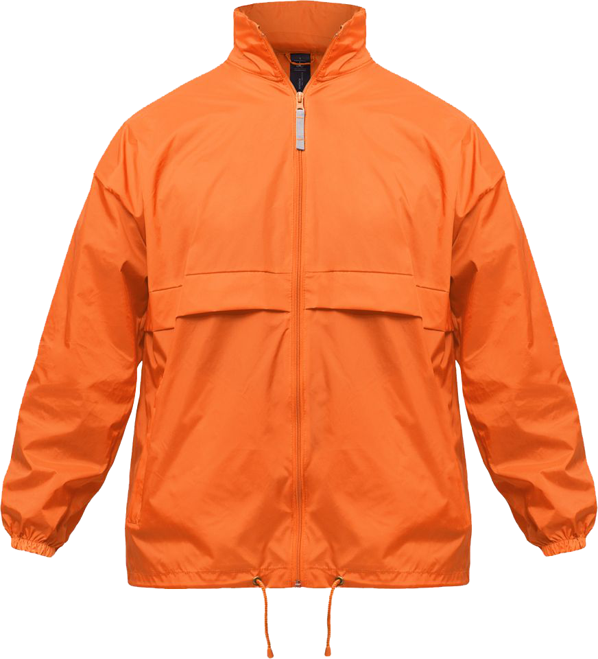
- Windproof and waterproof jacket (hardshell)
- Sleepwear
- Neck gaiter / Buff
- Gloves
- Warm beanie
- Headwear (sun hat, bandana, cap)
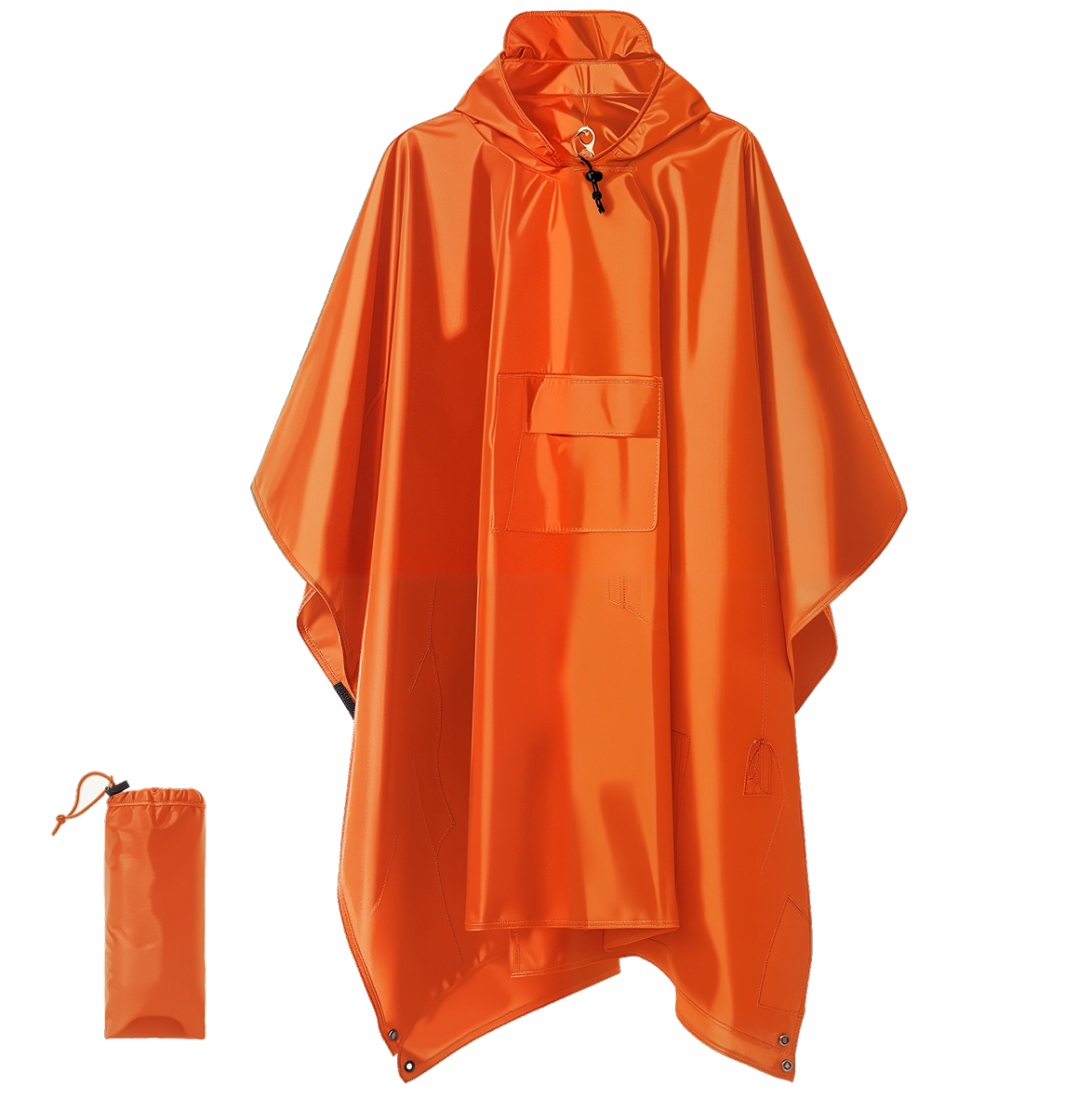
- Rain poncho with hood
- Hiking boots
- Camp shoes / Crocs
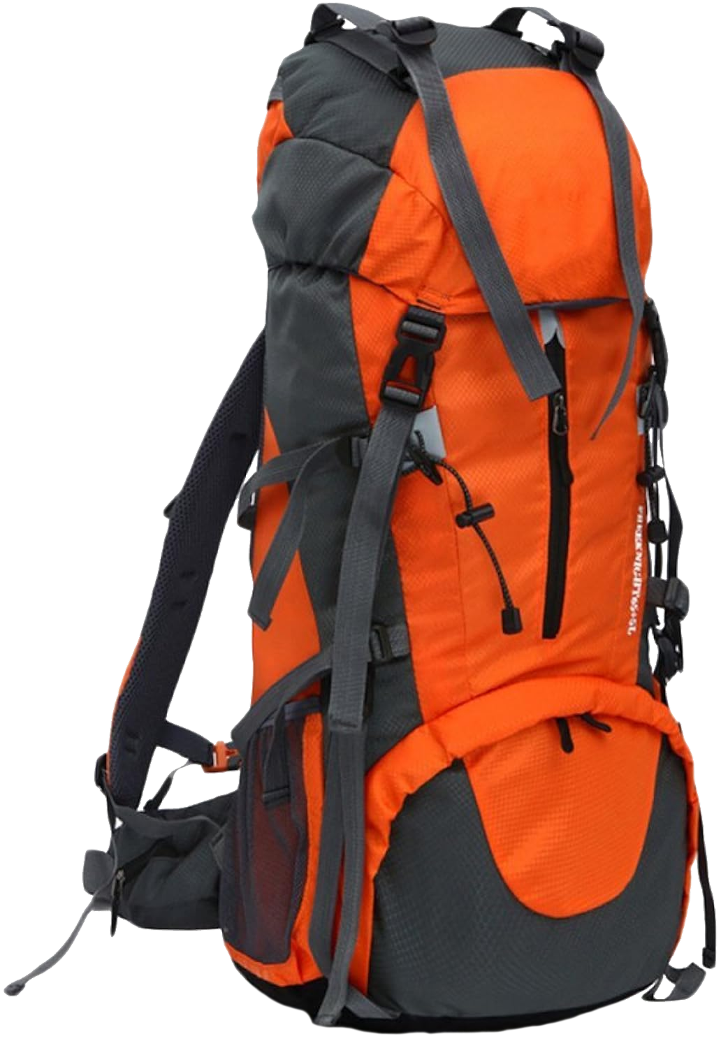
- Hiking backpack 70−90 liters with rain cover
- Sleeping pad
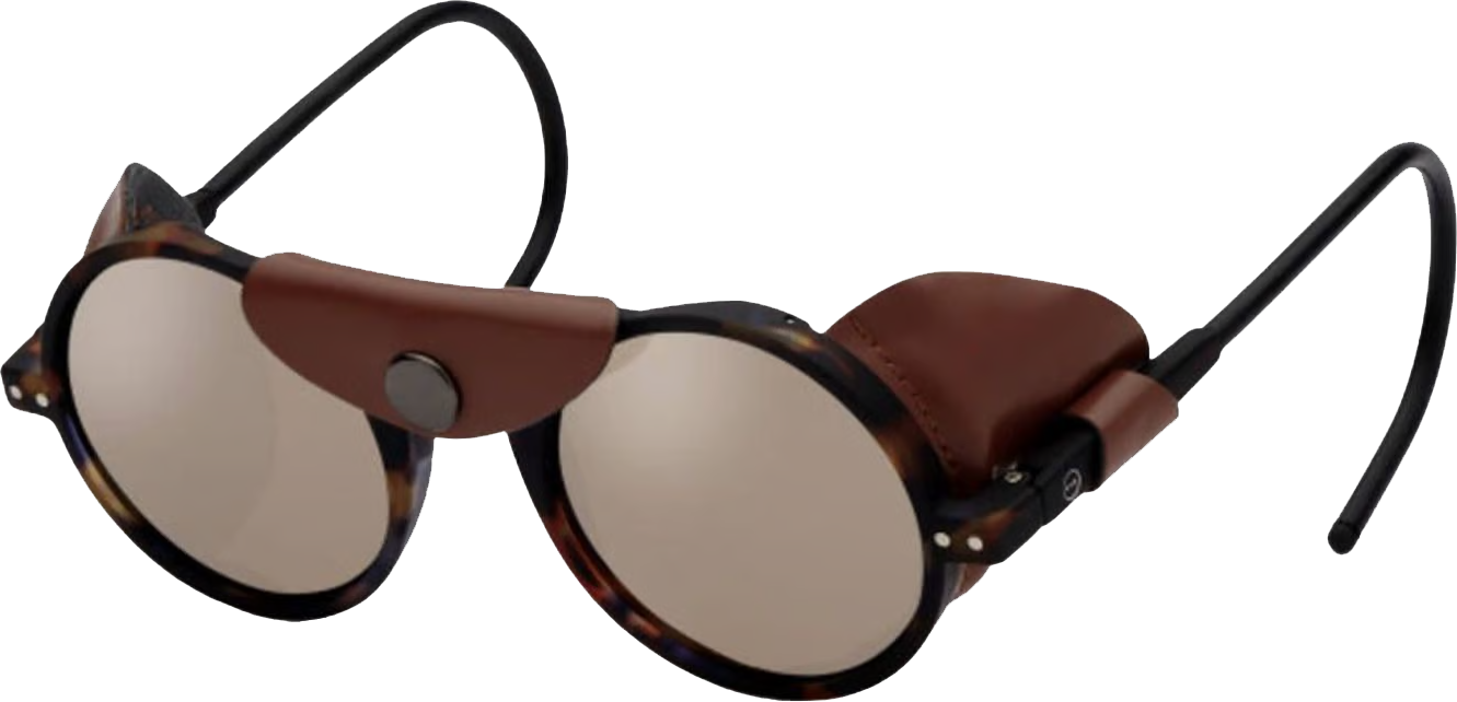
- Sunglasses
- Raincoat
- Sit pad
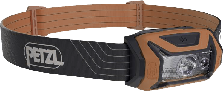
- LED headlamp
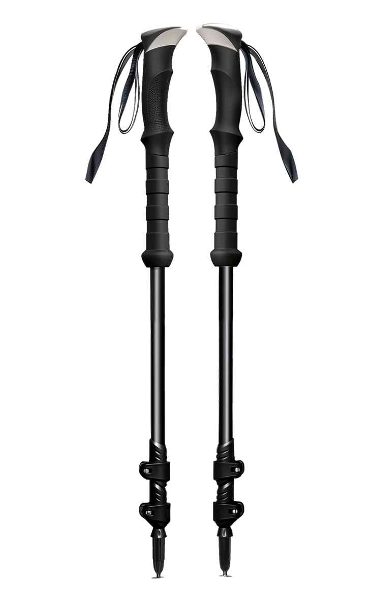
- Trekking poles
- Warm sleeping bag (comfort rating +0°C)
- Insurance
- Cash
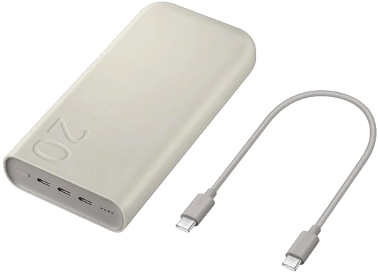
- Power bank
- All necessary chargers
- Thermos (1L)
- Bowl, mug, and spoon
- Reusable water bottle
- Toilet paper, wipes
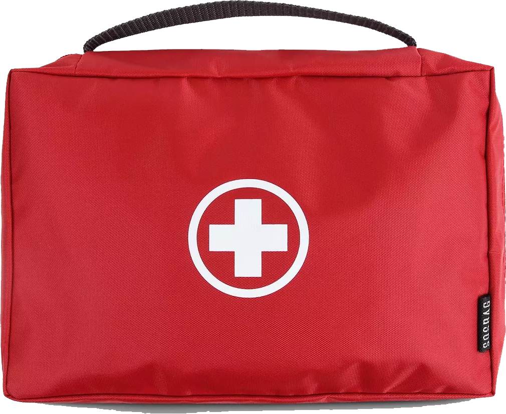
- Personal first aid kit
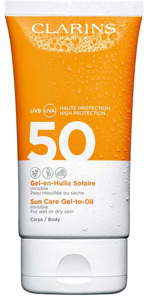
- Sunscreen and SPF lip balm
- Personal hygiene items
Price and payment
To book your spot, a 50% deposit is required

The remaining balance is due no later than 10 days before the start

If we cancel or reschedule, your deposit is fully refunded. More details on cancellations, transfers, and refunds here
Pay in USD or EUR to a Georgian TBC card
Pay in RUB to a Raif card at the Zolotaya Korona exchange rate


Ready for an adventure?